


File:Aerial view of modern Antioch.webp
Size of this PNG preview of this WEBP file: 783 × 599 pixels.
Original file (797 × 610 pixels, file size: 179 KB, MIME type: image/webp)
Summary
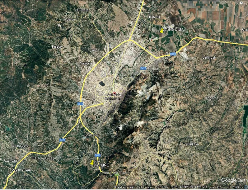
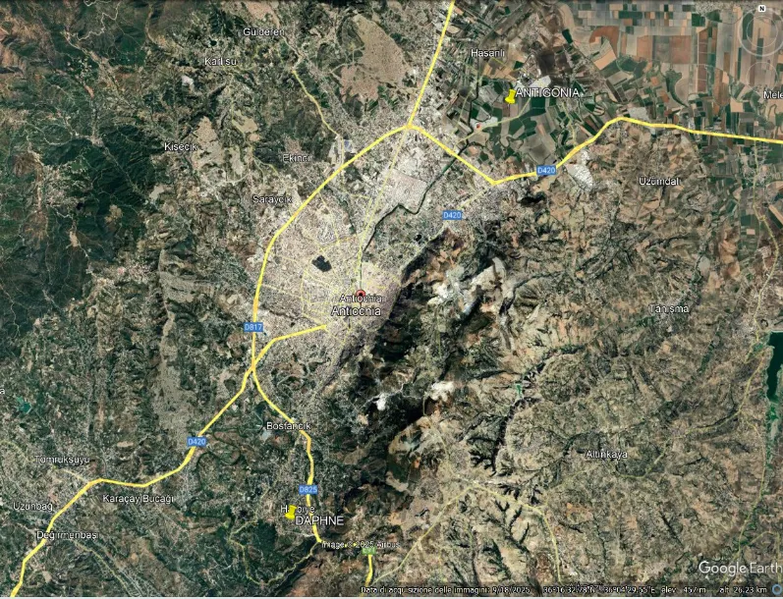
Aerial view of modern Antioch (Antakya). The yellow pin along the Orontes, to the northeast, indicates the probable location of Antigonia, «sheltered from the winds by the surrounding mountain ranges, far enough away not to oppress it but close enough to protect it». Daphne was at about the same distance from Antioch centre, on the plateau, modern Harbyie south–west.
File history
Click on a date/time to view the file as it appeared at that time.
| Date/Time | Dimensions | User | Comment | |
|---|---|---|---|---|
| current | 22:19, 19 September 2026 | 797 × 610 (179 KB) | Terranovas67 (talk | contribs) | Aerial view of modern Antioch (Antakya). The yellow pin along the Orontes, to the northeast, indicates the probable location of Antigonia, «sheltered from the winds by the surrounding mountain ranges, far enough away not to oppress it but ''close enough to protect it''». Daphne was at about the same distance from Antioch centre, on the plateau, modern Harbyie south–west. |
You cannot overwrite this file.
