


File:Map of Antioch.webp
Size of this PNG preview of this WEBP file: 450 × 600 pixels.
Original file (1,620 × 2,160 pixels, file size: 206 KB, MIME type: image/webp)
Summary
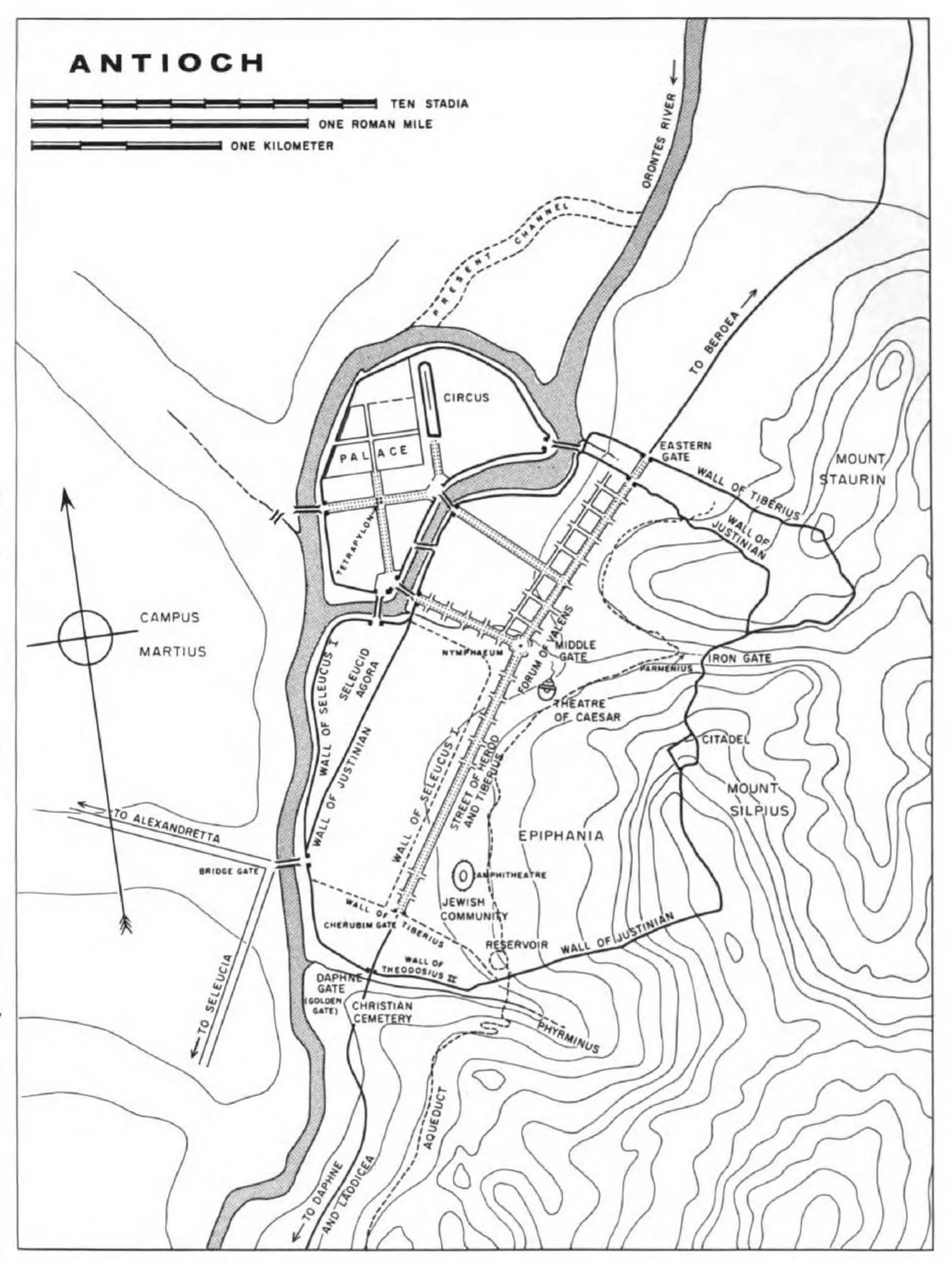
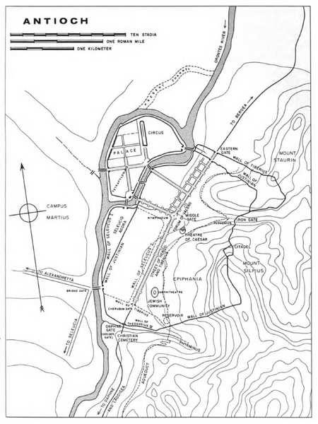
Map of Antioch (Downey, 1961). The road from Seleucia ends at the Bridge Gate. The Jewish community, where Lazarus’ house most likely stood, is located about 800 meters from the Gate. The walls present at the time of Jesus are those of Seleucus I. Note the island formed by the two branches of the Orontes River. The road to Daphne and Laodicea is indicated at the bottom; the road to Antigonia, exiting through the Eastern Gate, towards Beroea, is indicated at the top.
File history
Click on a date/time to view the file as it appeared at that time.
| Date/Time | Dimensions | User | Comment | |
|---|---|---|---|---|
| current | 22:20, 19 September 2026 | 1,620 × 2,160 (206 KB) | Terranovas67 (talk | contribs) | Map of Antioch (Downey, 1961). The road from Seleucia ends at the Bridge Gate. The Jewish community, where Lazarus’ house most likely stood, is located about 800 meters from the Gate. The walls present at the time of Jesus are those of Seleucus I. Note the island formed by the two branches of the Orontes River. The road to Daphne and Laodicea is indicated at the bottom; the road to Antigonia, exiting through the Eastern Gate, towards Beroea, is indicated at the top. |
You cannot overwrite this file.
